
Weather and Photography by Jane Gough, Melbourne, Australia
Tasmania April 2007
~ Day Five ~
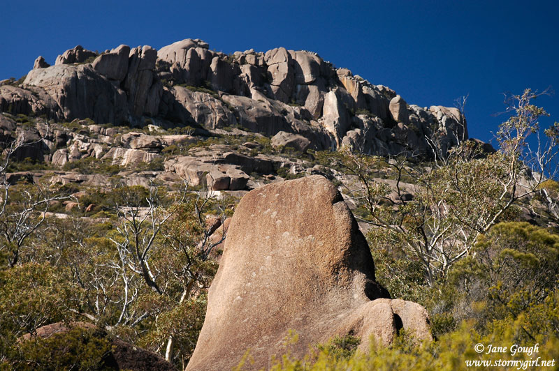
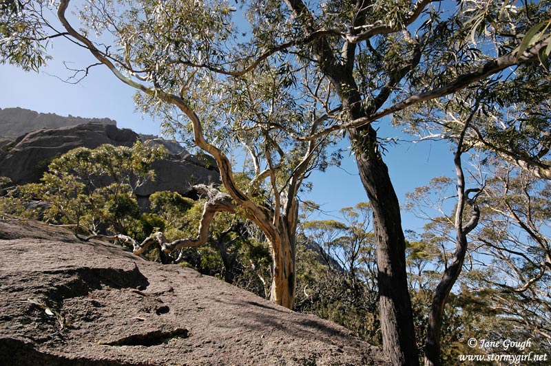
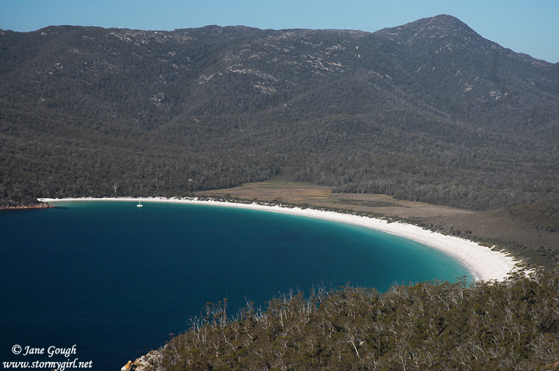
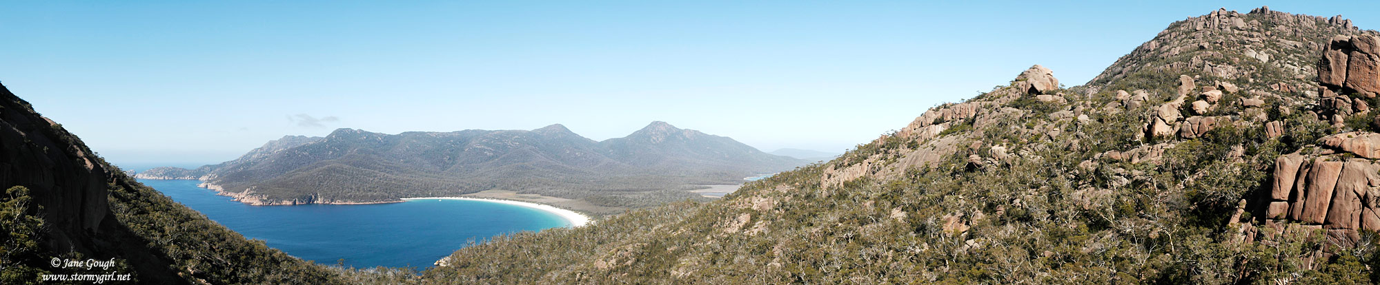
We spent the night in a beautiful old B&B in Swansea called 'Tubby and Padman', then had a fairly relaxing day meandering up the east coast. An early morning walk was on the cards at the Freycinet Peninsula as we tackled the Wineglass Bay Lookout. Suggested time for the walk is approximately 1 - 1.5 hours. 45 minutes to climb up the sometimes steep, rocky and slippery 600 odd 'steps', and 15 minutes to run down on the way back!! Once again we were graced with blue skies and calm conditions. The walk took us through 'The Hazards', the pinky granite mountain range on the Freycinet Peninsula. Upon arriving at the lookout, if the journey there didn't take our breath away (exhaustion), then the stunning scenery before us did!! There it was, one of the 10 most beautiful beaches in the world. Next time we're tackling the walk to the beach. Apparently, the name 'Wineglass Bay' came into fruition from the nineteenth century whalers, who carved up their catch in the bay, staining the water red.

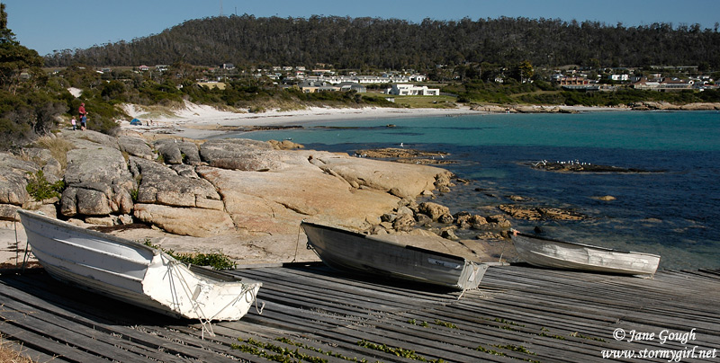
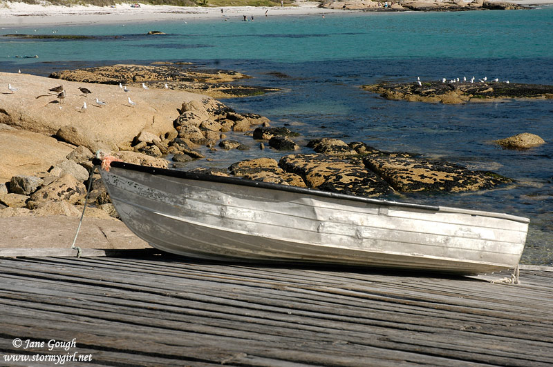
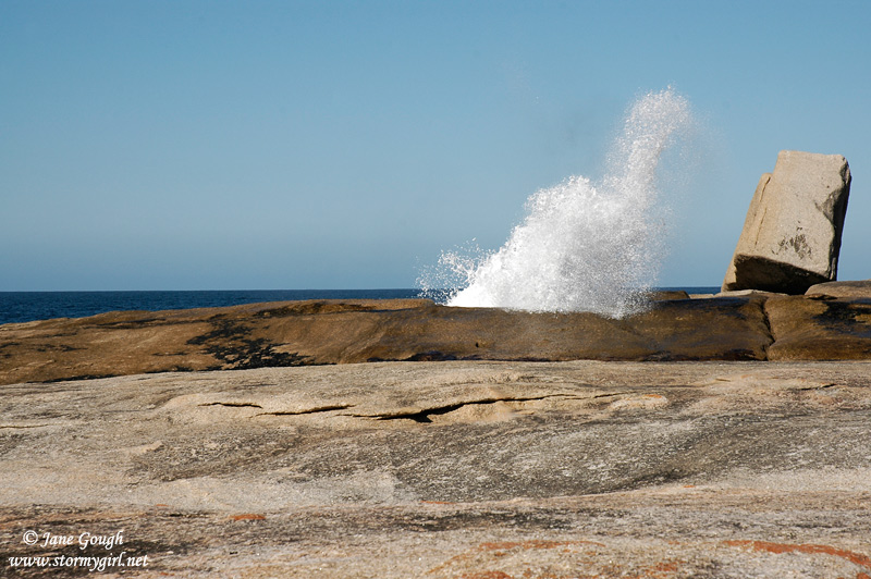
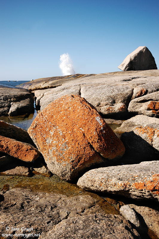
Bicheno, the popular holiday destination, was the perfect place for lunch by the Waubs Beach boat ramp. This quaint little town was once used for whaling, sealing and coal mining, but now is popular for fishing, diving and crayfishing. Such a peaceful time was spent ambling around the beaches on red lichen covered rocks and watching the spectacular blowhole.

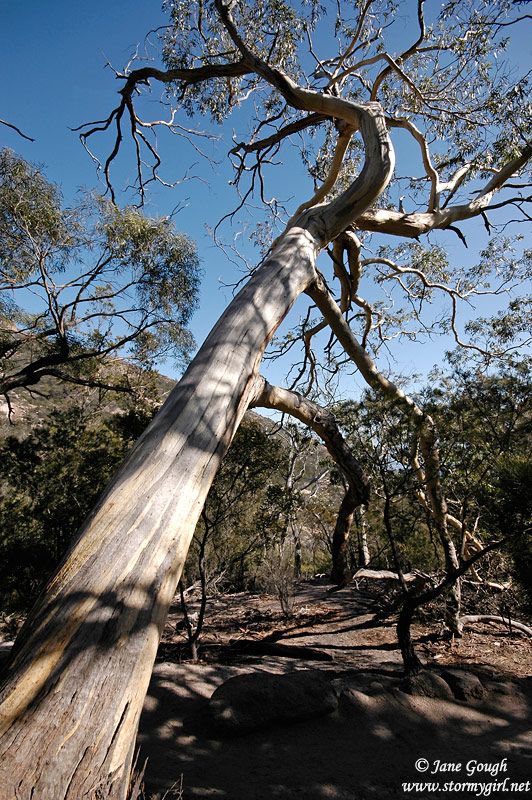
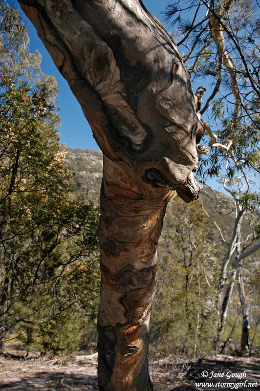
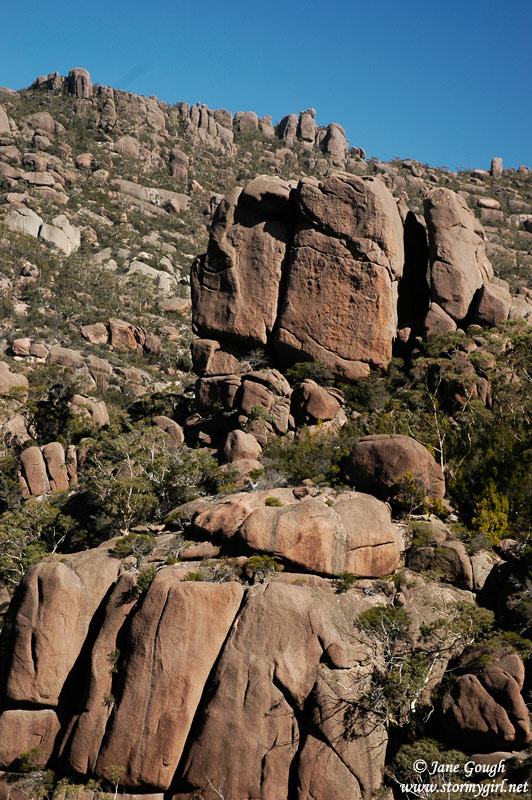
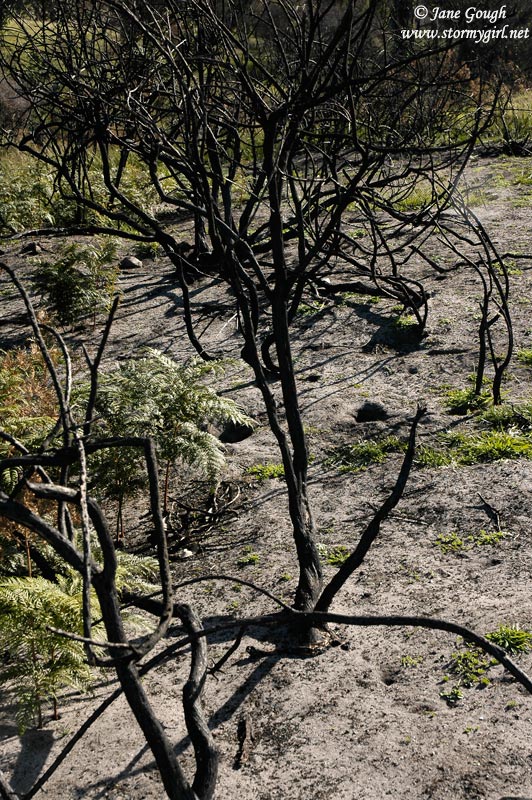
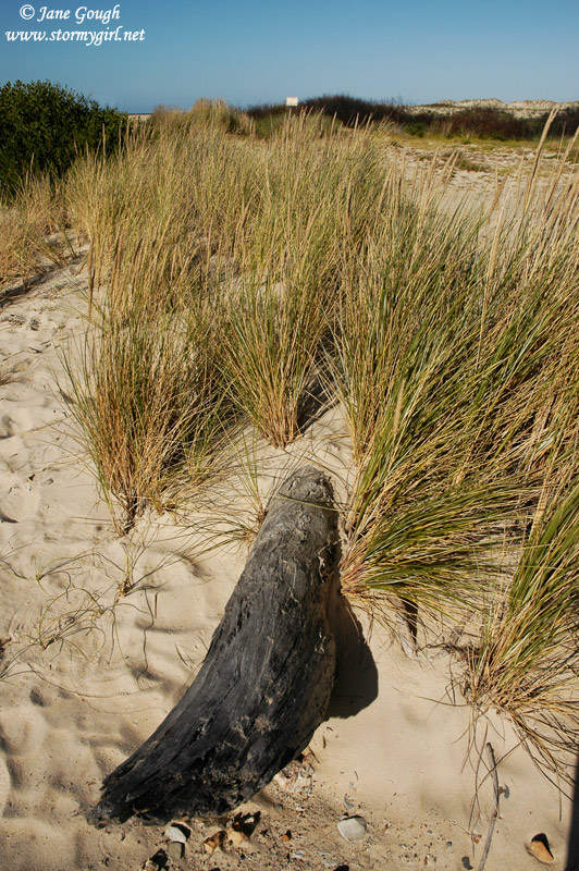
Continuing our journey along the Tasman HWY, we entered the area that was devastated by the bushfires in December earlier last Summer. The three images below were taken at Four Mile Creek, where on December 14th, four houses were lost when the fire burnt through approximately 2500 hectares of bush to the sea. Evidence is still strong in the canopy's of the eucalypts, however, the ground was covered in new ferns and grasses.

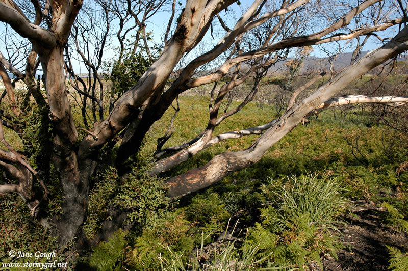
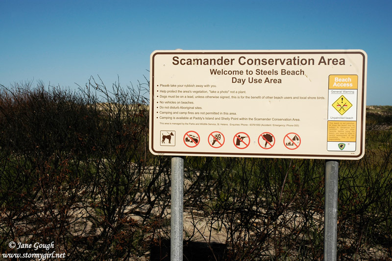
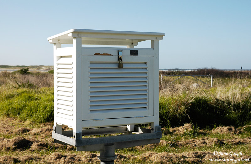
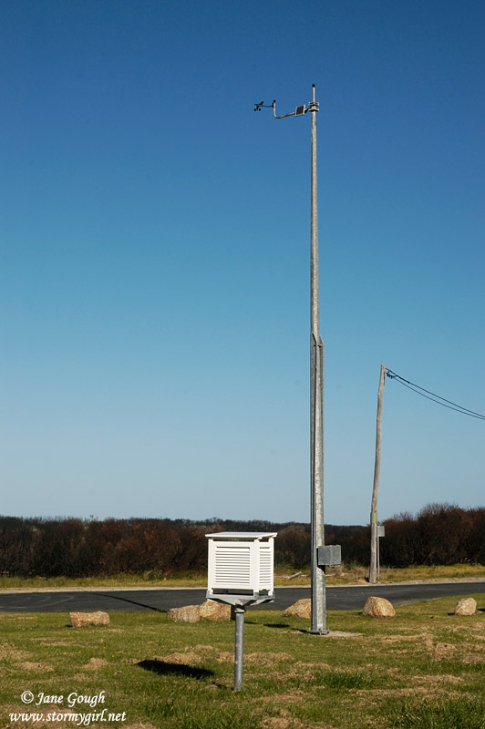
Scamander (below) also paid the price of the bushfires, where at least 18 homes were destroyed, along with over 17,500 hectares. Charred bush still remains in the Scamander Conservation Area showing no visible signs of recovery. We stumbled upon the Bureau of Meteorology's Automatic Weather Station in Scamander, approximately 200m from the coast.
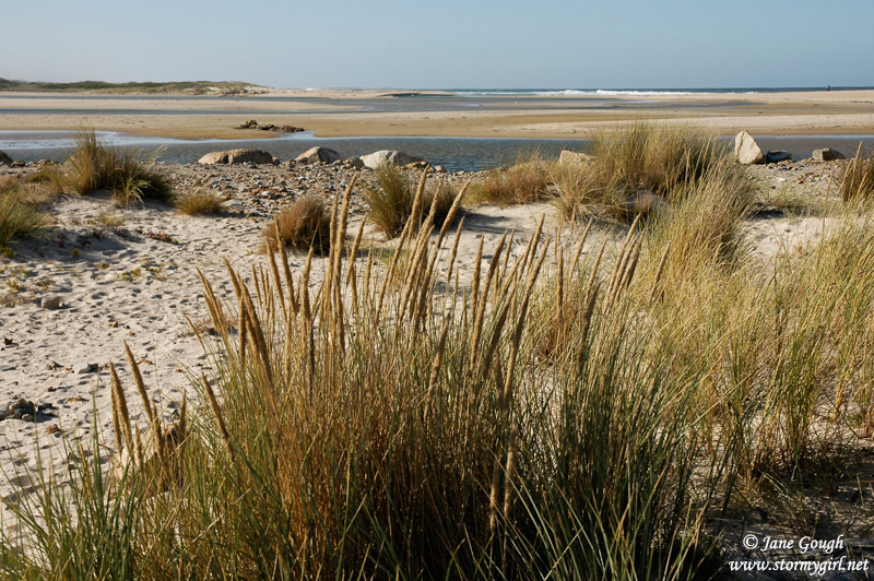
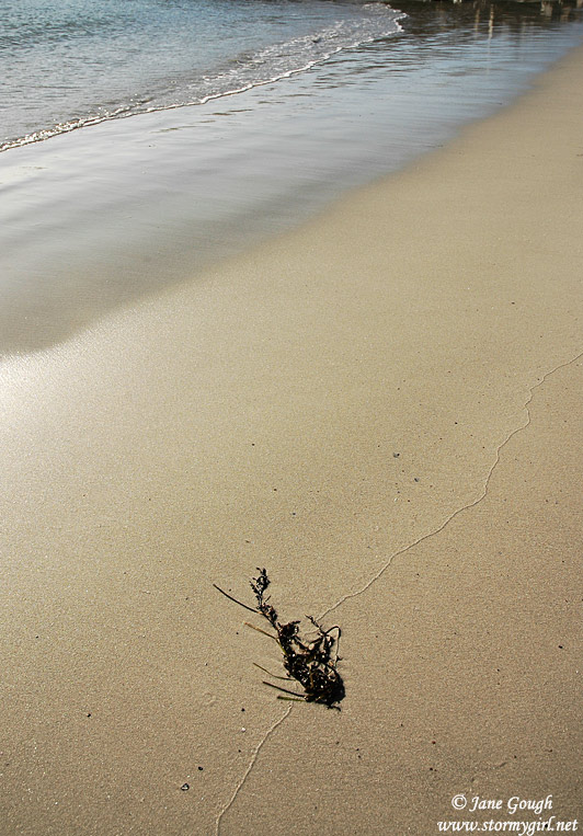
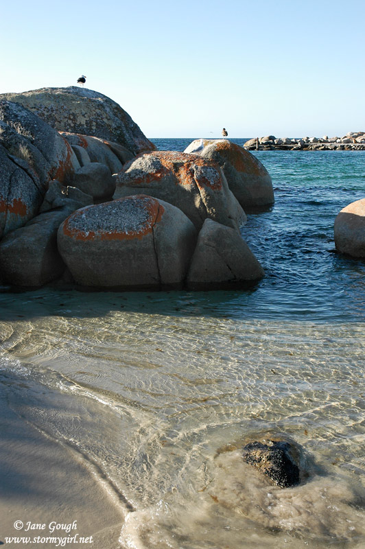
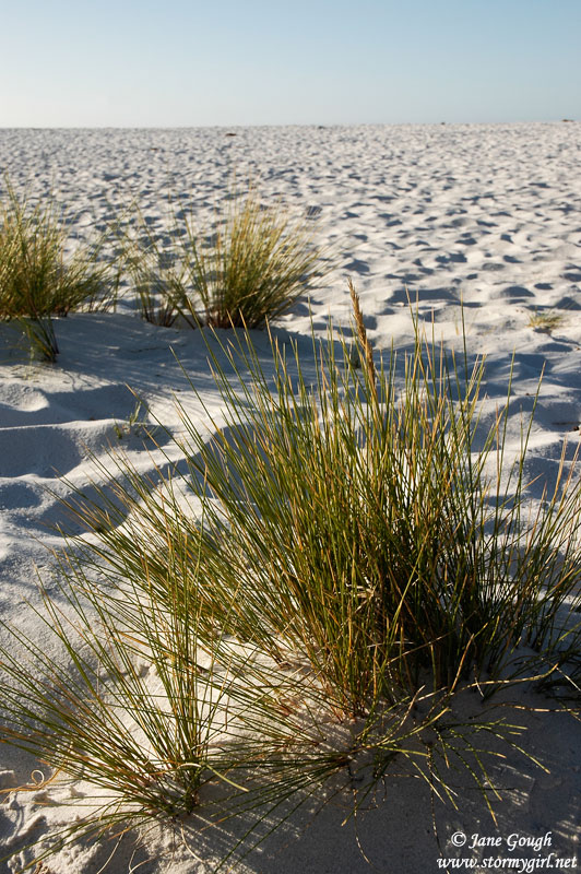
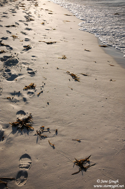
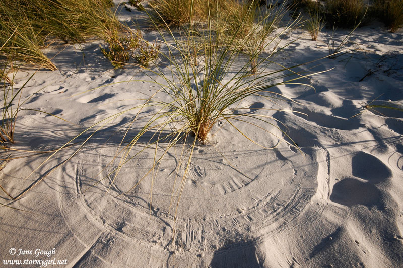
The area known as 'The Bay of Fires' extends from Binalong Bay to Eddystone Point along the East Coast. It was named in 1773 by Captain Tobias Furneaux who noticed an abundance of fires burning in the area, which belonged to the Aboriginals. Unfortunately, we didn't get to spend as much time as we would have liked in the area, but an afternoon was spent in Binalong Bay exploring the beautiful white sandy beaches and red lichen covered rocks. Stunning, to say the least!


Click for Day Six
Day One | Day Two | Day Three | Day Four | Day Five | Day Six